HyperAI
Command Palette
Search for a command to run...
KAIST Urban LiDAR Sensing Dataset
Date
3 years ago
Organization
Publish URL
Paper URL
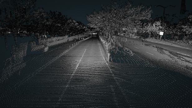
KAIST Urban provides light detection and ranging (LiDAR) data and stereo images from various position sensors for highly complex urban environments. The provided data captures the characteristics of urban environments (e.g., metropolitan areas, complex buildings, and residential areas). Data from typical 2D and 3D LiDAR sensors are presented. Raw sensor data for vehicle navigation is provided in file formats. For convenience, development tools are provided in the Robot Operating System (ROS) environment.
This dataset is contributed by community users and is intended for educational and informational purposes only. If any content involves copyright infringement, please contact us at [email protected] for prompt review and removal.
Build AI with AI
From idea to launch — accelerate your AI development with free AI co-coding, out-of-the-box environment and best price of GPUs.
AI Co-coding
Ready-to-use GPUs
Best Pricing
HyperAI Newsletters
Subscribe to our latest updates
We will deliver the latest updates of the week to your inbox at nine o'clock every Monday morning
Powered by MailChimp