HyperAI
Command Palette
Search for a command to run...
ACID Aerial Coastline Image Dataset
Date
4 years ago
Size
1000.86 MB
Organization
Publish URL
Paper URL
License
Other
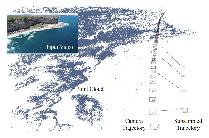
ACID is an aerial coastline image dataset that contains natural scene data with rich camera parameters. The dataset contains thousands of aerial drone videos from YouTube involving different coastlines and natural scenes. The camera positions are obtained by running structure-from-motion and published in the same format as the RealEstate10k dataset.
ACID.torrent
Seeding 2Downloading 0Completed 530Total Downloads 742
This dataset is contributed by community users and is intended for educational and informational purposes only. If any content involves copyright infringement, please contact us at [email protected] for prompt review and removal.
Build AI with AI
From idea to launch — accelerate your AI development with free AI co-coding, out-of-the-box environment and best price of GPUs.
AI Co-coding
Ready-to-use GPUs
Best Pricing
HyperAI Newsletters
Subscribe to our latest updates
We will deliver the latest updates of the week to your inbox at nine o'clock every Monday morning
Powered by MailChimp