Command Palette
Search for a command to run...
RSRCC Remote Sensing Area Change Understanding Benchmark Dataset
Date
Organization
Paper URL
License
Apache 2.0
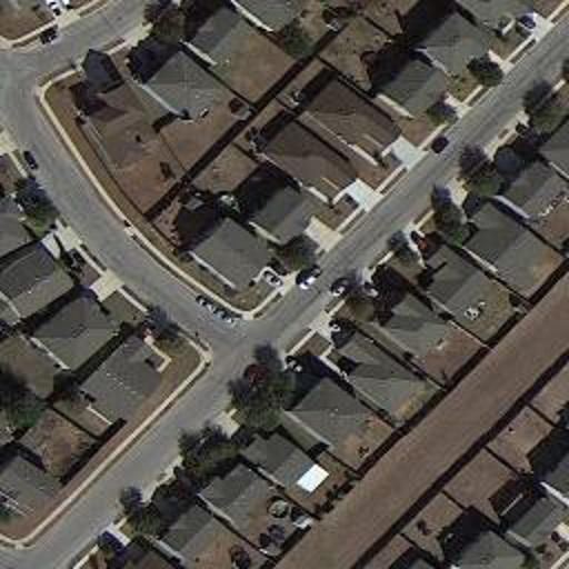
RSRCC is a benchmark dataset for understanding semantic changes in remote sensing, released by Google Research in 2026. Related research papers include... RSRCC: A Remote Sensing Regional Change Comprehension Benchmark Constructed via Retrieval-Augmented Best-of-N RankingIt aims to support a deep understanding of temporal changes in remote sensing scenes by pairing multi-temporal image evidence with natural language question answering, thereby elevating traditional binary change detection to the dimension of semantic change description. This dataset contains 126,000 question-and-answer samples for remote sensing change detection, covering scenarios such as new construction, demolition, road changes, vegetation changes, and residential development. It is divided using train, value, and test criteria. Each sample consists of a pair of time-aligned before-and-after satellite images and corresponding natural language questions and answers, linked via metadata.csv, making it suitable for multimodal change understanding tasks.
Data Fields:
- before: The image before the change.
- after: The image after the changes.
- text: Contains text annotations with semantic questions and answers, supporting both Yes/No and Multiple-Choice question and answer formats.
Citation
@Article{Kazoom2026RSRCC,
AUTHOR = {Kazoom, R. and Gigi, Y. and Leifman, G. and Shekel, T. and Beryozkin, G.},
TITLE = {RSRCC: A Remote Sensing Regional Change Comprehension Benchmark Constructed via Retrieval-Augmented Best-of-N Ranking},
JOURNAL = {arXiv preprint},
VOLUME = {arXiv:2604.20623},
YEAR = {2026},
URL = {https://arxiv.org/abs/2604.20623},
DOI = {10.48550/arXiv.2604.20623}
}
Build AI with AI
From idea to launch — accelerate your AI development with free AI co-coding, out-of-the-box environment and best price of GPUs.